Surveying with Drone Technology
AERIS delivers advanced surveying services using cutting-edge drone technology. We provide high-resolution 2D and 3D maps, enabling precise measurements and detailed site analysis. Our expertise in photogrammetry ensures accurate data collection for diverse applications. Experience the future of surveying.


Our Mission at AERIS
At AERIS, we leverage cutting-edge drone technology to deliver high-precision 2D and 3D maps, supporting industries like construction, infrastructure, and environmental management with reliable data and innovative solutions.
Total Surveyed Area
0
m
Projects Completed
0
Team Experience
0
yrs
Team Expertise
0
yrs
Explore Our Advanced Drone Surveying Service Offerings Today
At AERIS, we leverage cutting-edge drone technology to provide high-resolution 2D and 3D maps, enabling precise measurements and detailed site analysis. Our specialized services in photogrammetry and comprehensive survey work ensure accurate data collection for a variety of applications. Discover how our drone surveying solutions can benefit your projects.

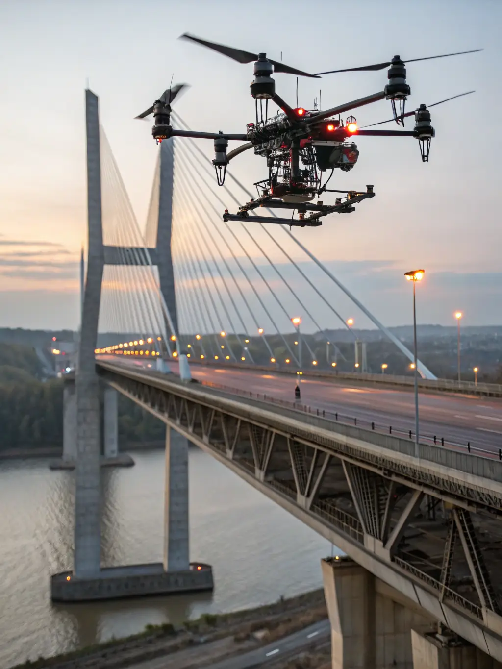
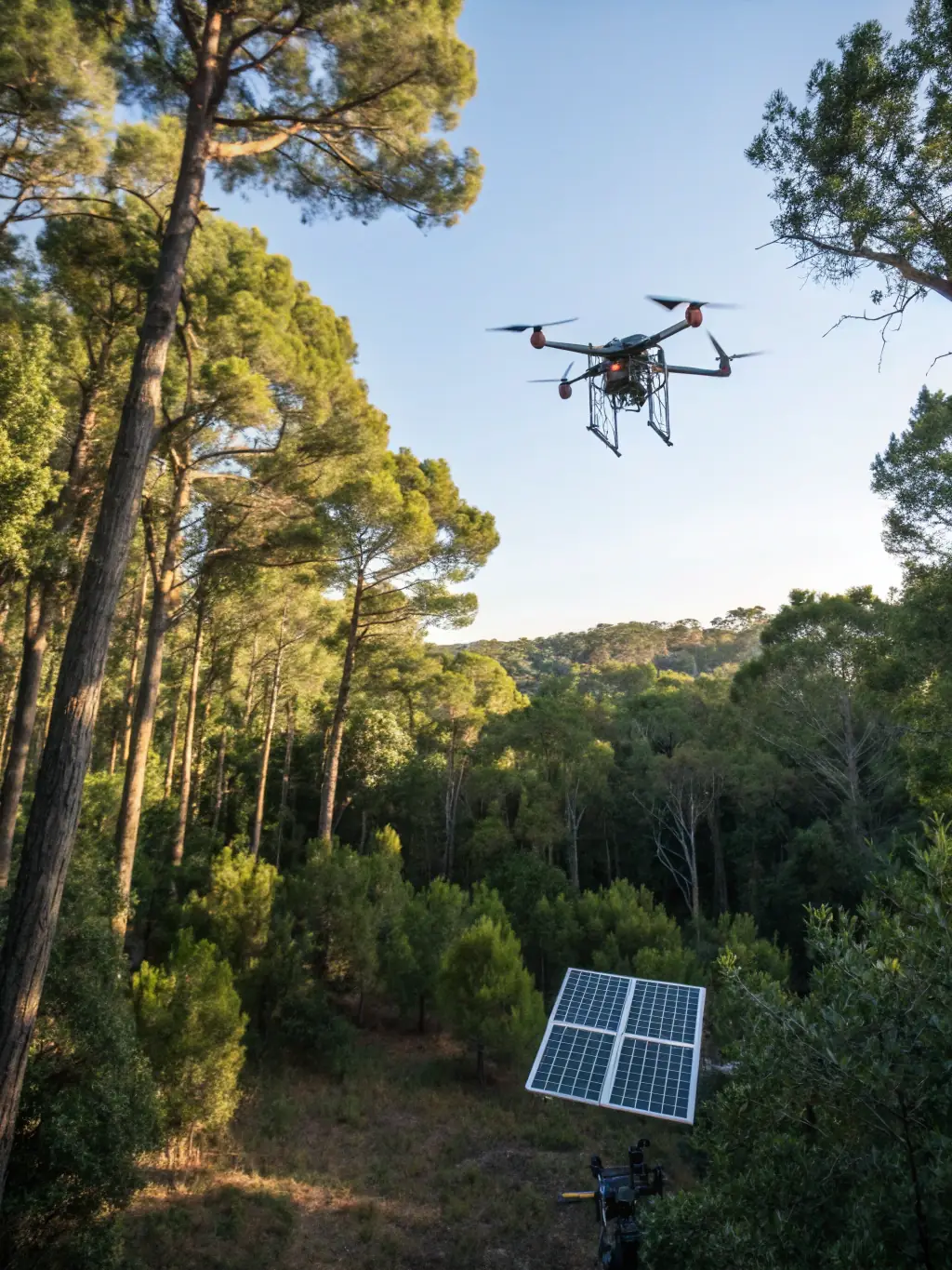
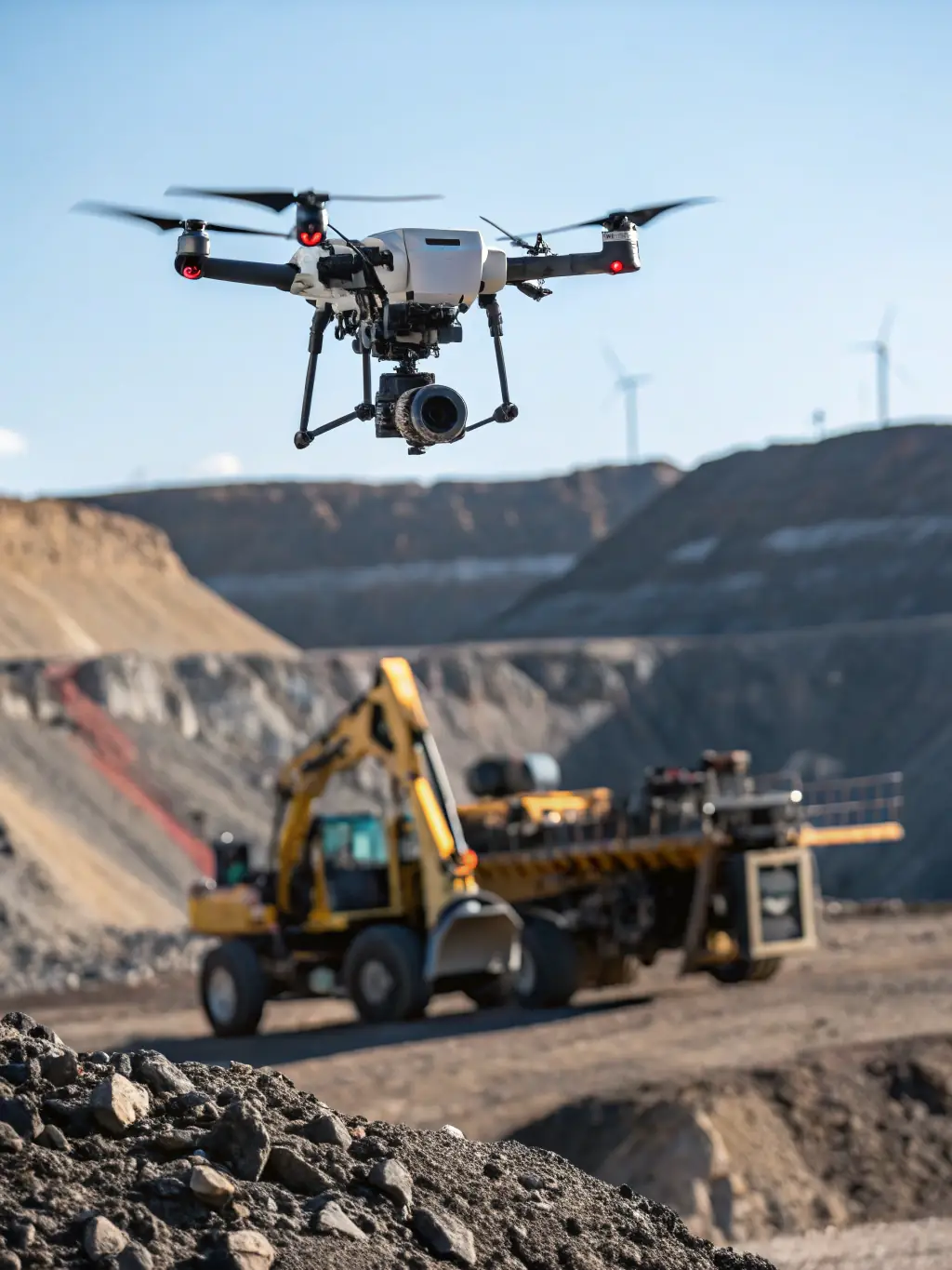
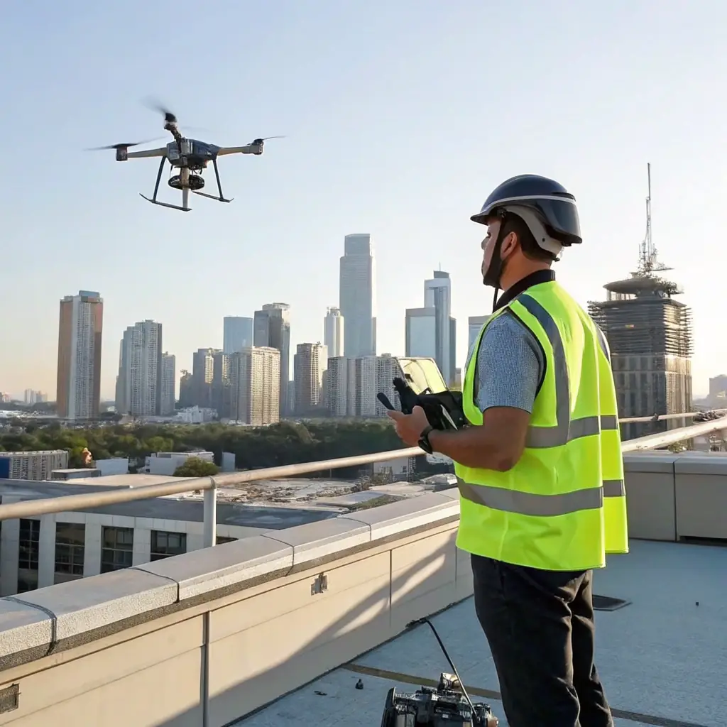
Drone Surveying Solutions
Our drone surveying service utilizes high-resolution aerial drones to capture detailed site data, enabling accurate mapping and analysis for various projects. We provide high-resolution aerial data quickly and efficiently.

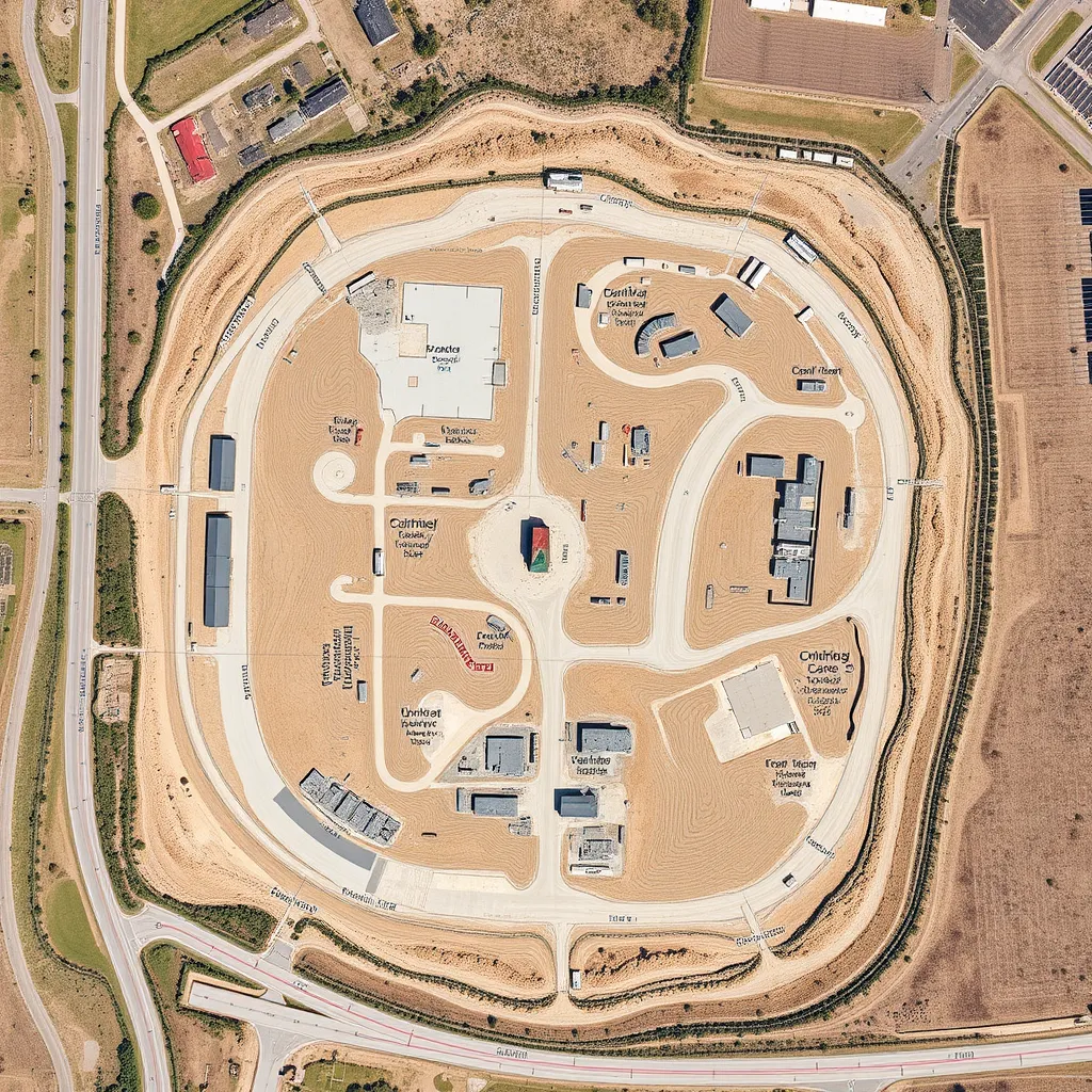
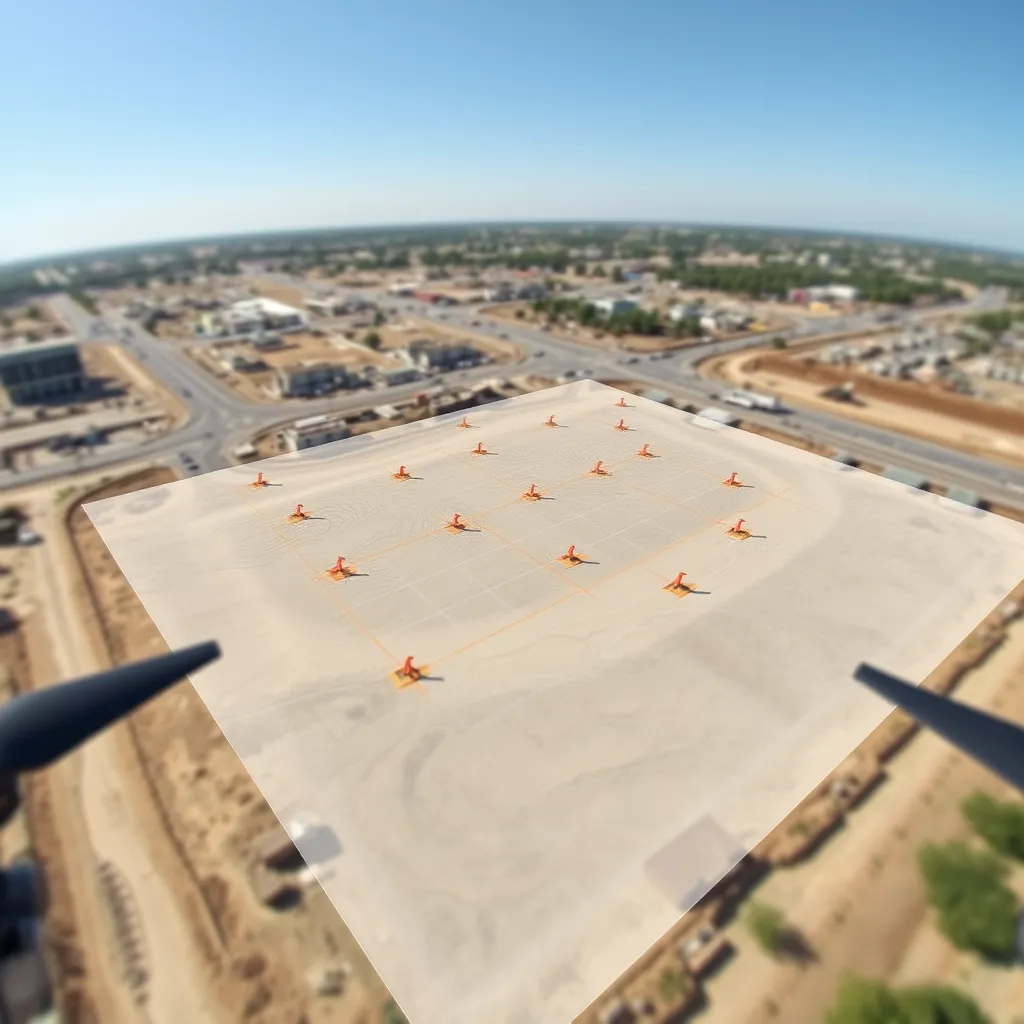
Precision Photogrammetry Services
Our photogrammetry service transforms aerial images into precise 2D and 3D models, supporting detailed measurements and analysis for diverse applications. We deliver highly accurate and detailed models.

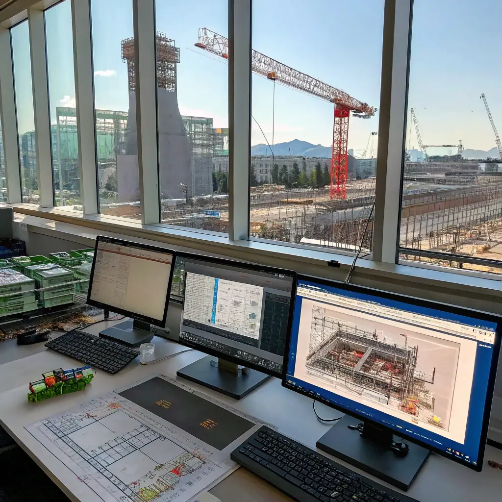
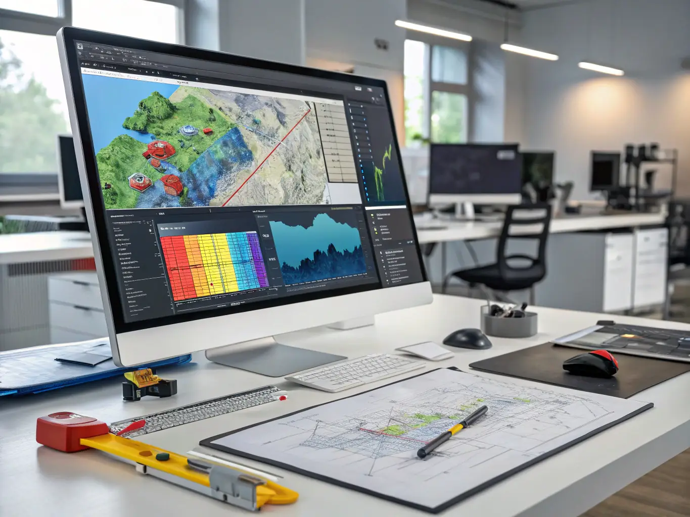
Comprehensive 3D Mapping
Our 3D mapping service creates comprehensive three-dimensional models from survey data, providing clients with immersive visualizations for planning and analysis. We offer detailed visualizations for better project planning.
Unlock Precision with AERIS Photogrammetry Services
AERIS utilizes cutting-edge photogrammetry techniques to transform aerial images into highly accurate 2D and 3D models. Our detailed models support a wide range of applications, providing precise measurements and comprehensive analysis for your projects. We ensure the highest level of accuracy and detail in every project.
- High-Accuracy Models: Achieve unparalleled precision in your project data.
- Versatile Applications: Ideal for construction, environmental studies, and infrastructure planning.
- Enhanced Visualization: Easily share and visualize complex spatial data.

Visualize Your Project with AERIS 3D Mapping Solutions
Transform complex survey data into immersive 3D models with AERIS. Our 3D mapping services provide detailed visualizations, enabling better project planning, virtual walkthroughs, and enhanced communication with stakeholders. Experience the power of 3D for your next project.
- Enhanced Visualization: See your project in a realistic 3D environment.
- Improved Planning: Identify potential issues early on.
- Stakeholder Communication: Clearly communicate project details.
