At AERIS, we use advanced drone technology to produce high-resolution 2D and 3D maps that support accurate measurements and detailed site analysis. Every project is handled by experienced pilots who understand the importance of precision, consistency, and real-world results. Founded in 2020, AERIS quickly earned a reputation for delivering reliable, no-nonsense surveying solutions backed by a commitment to quality and client trust.
Meet Our Experts
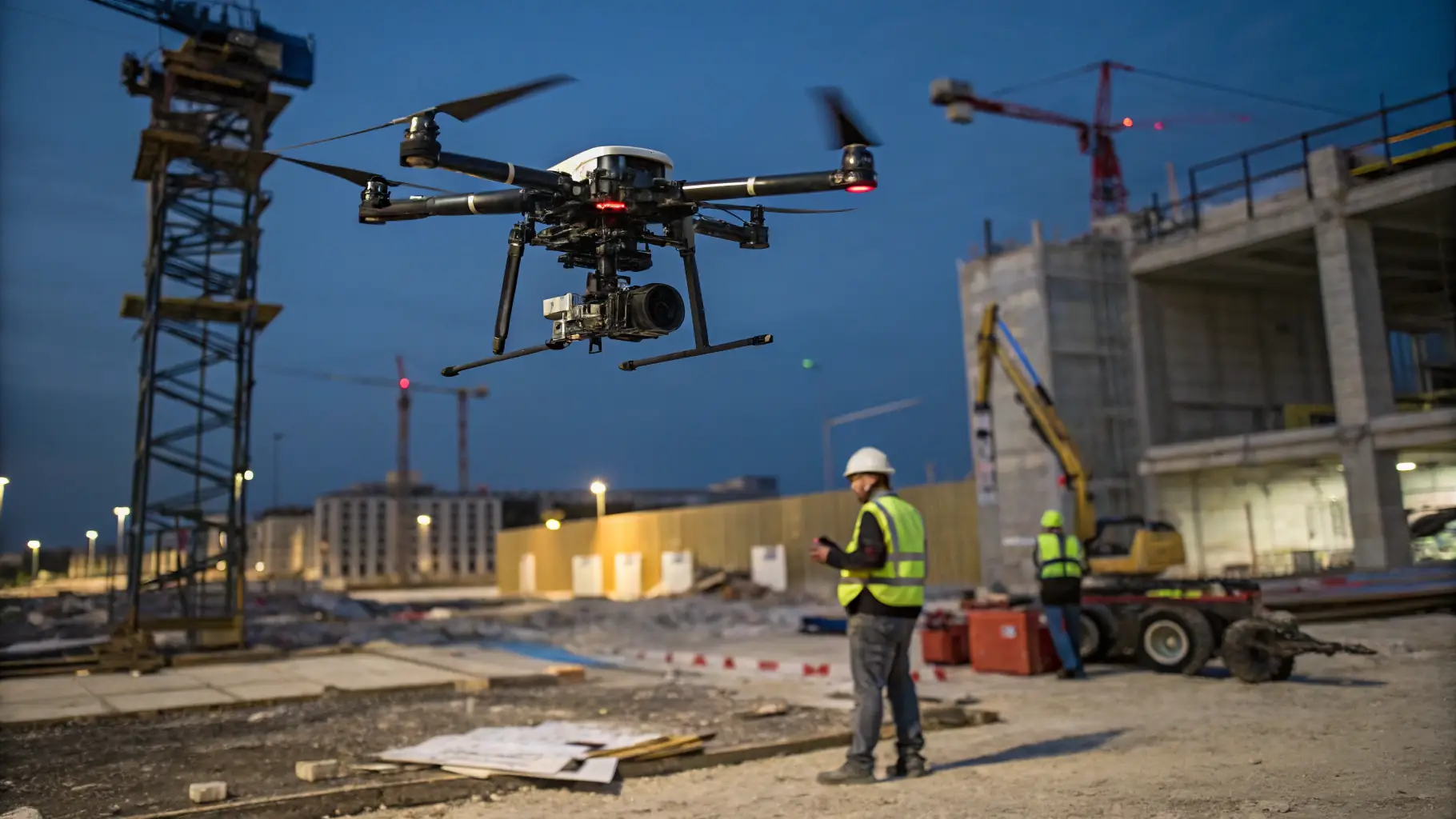
Precision Matters
Our team ensures accuracy and reliability in every surveying project we undertake.
AERIS is led by a seasoned drone operator with over five years of field experience in mapping and surveying. I’m here to deliver accurate results, no fluff — just clear, reliable data you can count on to get the job done right.