Explore Our Solutions

AERIS offers a comprehensive suite of surveying services tailored to meet the diverse needs of our clients. Utilizing state-of-the-art drone technology and advanced data processing techniques, we deliver accurate, reliable, and actionable insights for your projects. Discover how our expertise can transform your surveying experience.
A high-resolution aerial image of a construction site being surveyed by a drone, showcasing the detailed data capture capabilities.
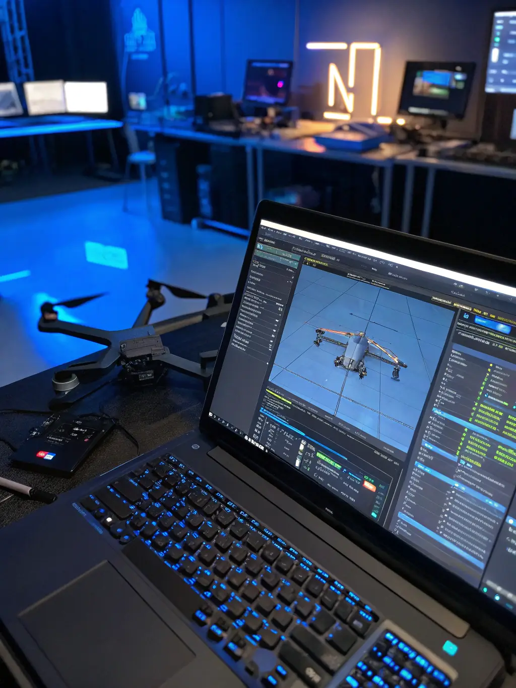
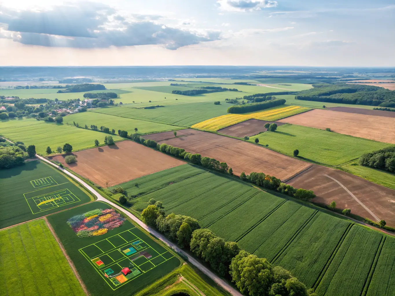
Photogrammetry Services
Transforming aerial images into precise 2D and 3D models, our photogrammetry services support detailed measurements and analysis for diverse applications. Gain valuable insights with our advanced photogrammetric solutions.
A detailed 3D model of a landscape, created from drone survey data, highlighting the precision and detail achievable with 3D mapping.
Comprehensive 3D Mapping
Our 3D mapping service creates comprehensive three-dimensional models from survey data, providing clients with immersive visualizations for planning and analysis. Experience the power of detailed 3D representations.
An aerial view of a large area being surveyed by a drone, emphasizing the efficiency and wide coverage of drone surveying.
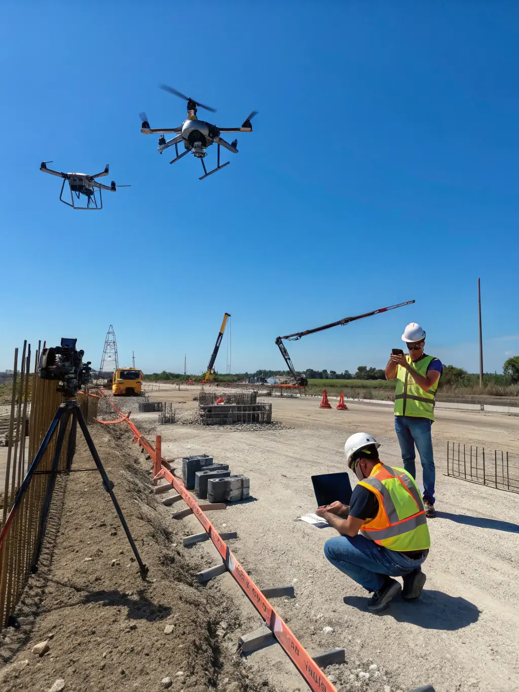
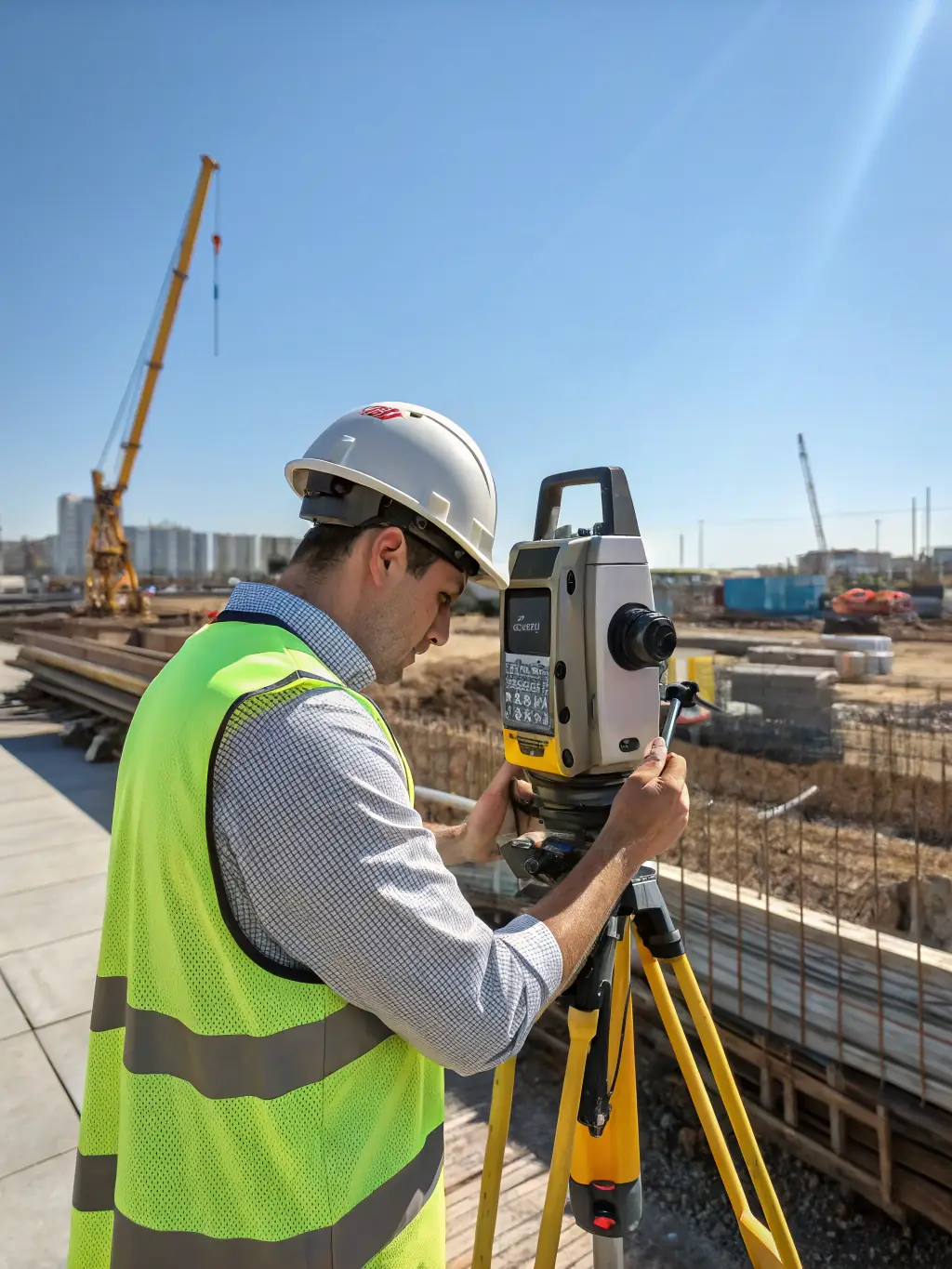
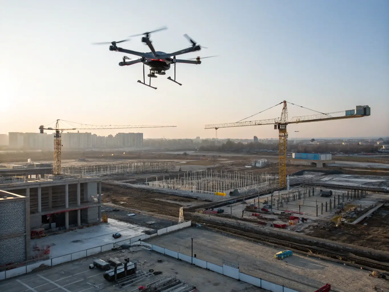
Drone Surveying Solutions
Utilizing high-resolution aerial drones to capture detailed site data, our drone surveying service enables accurate mapping and analysis for various projects. Benefit from efficient and precise data collection.