Precise Solutions

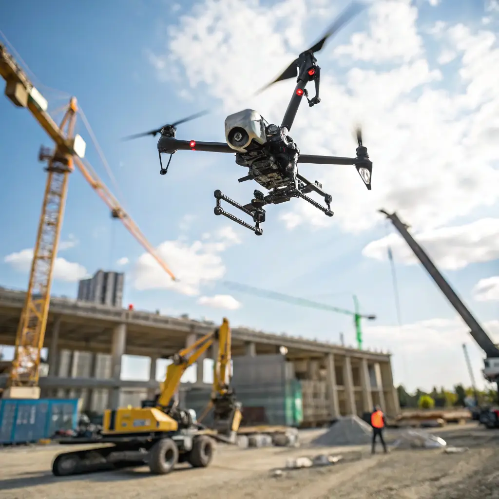
AERIS provides cutting-edge drone surveying services, delivering high-resolution aerial data for detailed 2D and 3D mapping. Our technology ensures accurate site analysis while reducing costs and improving safety. We transform the way you see your projects.

Why Choose Our Drone Surveying Benefits

Our drone surveying services leverage high-resolution aerial data to deliver precise 2D and 3D maps, significantly reducing survey time and costs while enhancing safety. Discover how our advanced technology can transform your project analysis with detailed, accurate site insights.
Total area covered (m²)
0 m
Average elevation (m)
0 m
Maximum elevation (m)
0 m
Peak elevation (m)
0 m